

Details
Description
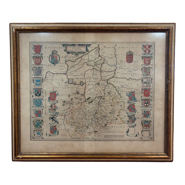
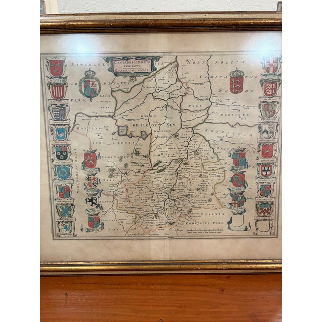
Original 17th-century engraved map of Cambridgeshire, England by Dutch cartographer Joan Blaeu, titled Cantabrigiensis Comitatus, Cambridge Shire. The map depicts …
Read more
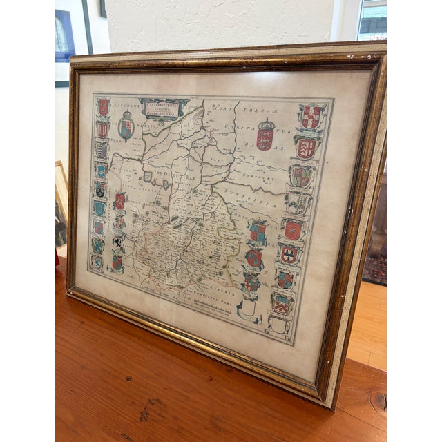
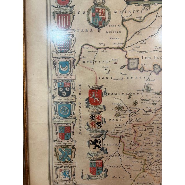
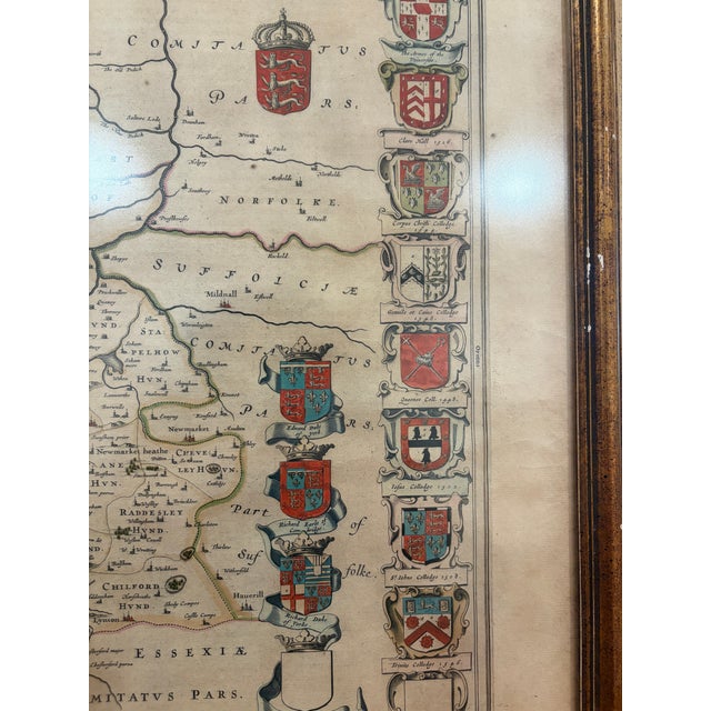
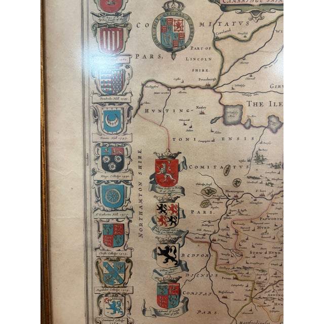
Original 17th-century engraved map of Cambridgeshire, England by Dutch cartographer Joan Blaeu, titled Cantabrigiensis Comitatus, Cambridge Shire. The map depicts the historic county of Cambridgeshire and the Isle of Ely, surrounded by an elaborate series of heraldic coats of arms representing local families and nobility.
Hand-colored engraving with beautifully detailed cartography and decorative heraldic elements. Presented under glass in a traditional gilt wood frame.
See less
- Dimensions
- 27ʺW × 1ʺD × 23ʺH
- Styles
- Traditional
- Frame Type
- Framed
- Period
- 17th Century
- Country of Origin
- Netherlands
- Item Type
- Vintage, Antique or Pre-owned
- Materials
- Giltwood
- Condition
- Good Condition, Original Condition Unaltered, Some Imperfections
- Color
- Antique White
- Condition Notes
- The paper shows toning, spotting and other age-related wear consistent with its age. The paper shows toning, spotting and other age-related wear consistent with its age. less
Questions about the item?
Returns & Cancellations
Return Policy - All sales are final 48 hours after delivery, unless otherwise specified in the description of the product.
Cancellation Policy - Prior to shipping or local pickup, buyers may cancel an order for up to 48 hours, unless otherwise specified.