

Details
Description
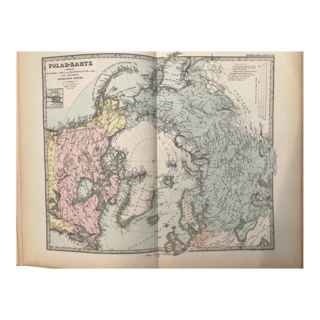
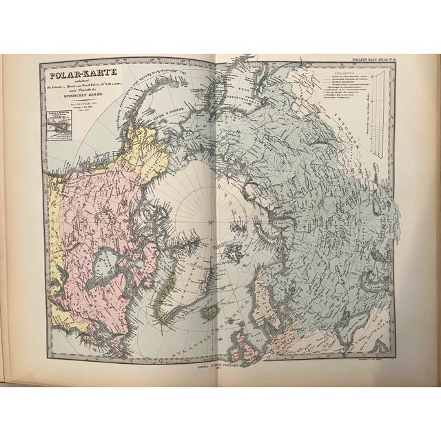
This map is oriented over the North Pole and details the polar explorations and discoveries up to publication. Title: Polar-Karte … Read more This map is oriented over the North Pole and details the polar explorations and discoveries up to publication. Title: Polar-Karte Enthaltend: die Lander u. Meere vom Nord-Pol…; Created by A Stieler, 1877, Gotha. Inland detail is primarily composed of rivers and a few cities. From Stieler's Hand-Atlas published by J Perthes. See less
- Dimensions
- 13.5ʺW × 0.1ʺD × 15ʺH
- Styles
- Traditional
- Frame Type
- Unframed
- Period
- Late 19th Century
- Country of Origin
- Germany
- Item Type
- Vintage, Antique or Pre-owned
- Materials
- Paper
- Condition
- Good Condition, Original Condition Unaltered, Some Imperfections
- Color
- White
- Condition Notes
- Very Good. Issued centerfold. Colored. Very Good. Issued centerfold. Colored. less
Questions about the item?
Returns & Cancellations
Return Policy - All sales are final 48 hours after delivery, unless otherwise specified in the description of the product.
Cancellation Policy - Prior to shipping or local pickup, buyers may cancel an order for up to 48 hours, unless otherwise specified.