

Details
Description
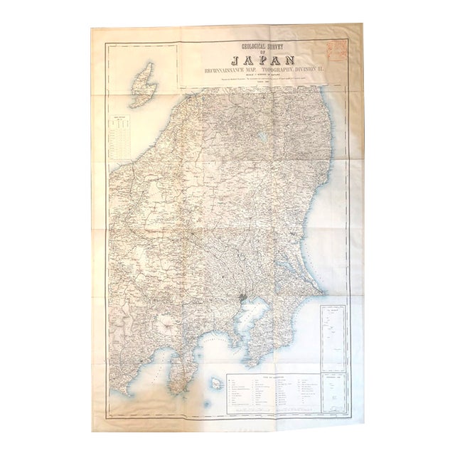
This is an excellent topographical survey map of central portion of Japan, showing Tokyo, Mt. Fuji, Sizouka, Takasaki and Niigata. … Read more This is an excellent topographical survey map of central portion of Japan, showing Tokyo, Mt. Fuji, Sizouka, Takasaki and Niigata. Details include railroads, roads, tunnels, contour lines on land and sea, rivers, forts, garrisons, cities, towns, individual houses, etc. It is a folding paper-backed color map, with a typical red ink stamp in Japanese at upper right corner. Created by Toyodo Engraving Office, 1887, Tokyo. See less
- Dimensions
- 33.1ʺW × 0.1ʺD × 49.2ʺH
- Styles
- Traditional
- Frame Type
- Unframed
- Period
- Late 19th Century
- Country of Origin
- Japan
- Item Type
- Vintage, Antique or Pre-owned
- Materials
- Paper
- Condition
- Good Condition, Original Condition Unaltered, Some Imperfections
- Color
- White
- Condition Notes
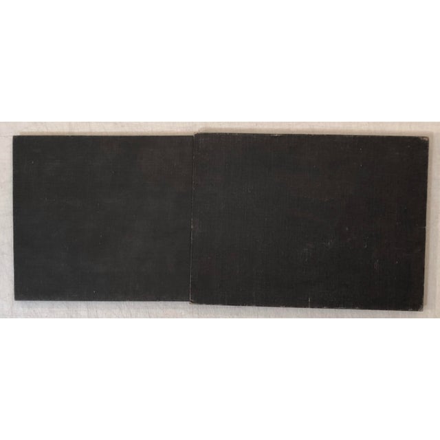
- Very good. Some toning, light soiling to map, edges neatly reinforced with paper, boards and slipcase lightly worn, soiled. Housed … moreVery good. Some toning, light soiling to map, edges neatly reinforced with paper, boards and slipcase lightly worn, soiled. Housed in modern beige buckram clamshell case with green gilt morocco lettering label. less
Questions about the item?
Returns & Cancellations
Return Policy - All sales are final 48 hours after delivery, unless otherwise specified in the description of the product.
Cancellation Policy - Prior to shipping or local pickup, buyers may cancel an order for up to 48 hours, unless otherwise specified.