

Details
Description
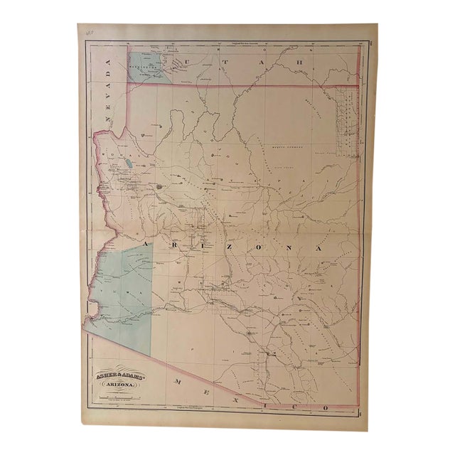
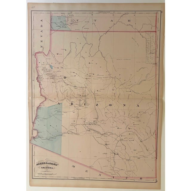
This larger double page map showsthe Arizona Territory a decade after it became a territory. Title: Asher and Adams' Arizona; … Read more This larger double page map showsthe Arizona Territory a decade after it became a territory. Title: Asher and Adams' Arizona; Created by Asher and Adams, 1873, New York. There are five very large counties (Yavapai, Yuma, Mohave, Pima, and Maricopa). The capital is Tucson. The map displays major rivers, numerous mines, military, and Indian reservations, including a Navajo Reservation in the northeast corner, and the progress of public surveys. It also depicts a few key roads and two east-west rail lines across the territory. See less
- Dimensions
- 16.7ʺW × 0.1ʺD × 22.6ʺH
- Styles
- Traditional
- Frame Type
- Unframed
- Period
- Late 19th Century
- Country of Origin
- United States
- Item Type
- Vintage, Antique or Pre-owned
- Materials
- Paper
- Condition
- Good Condition, Original Condition Unaltered, Some Imperfections
- Color
- White
- Condition Notes
- Very Good-Excellent Slight toning. Issued centerfold. Hand Colored. Very Good-Excellent Slight toning. Issued centerfold. Hand Colored. less
Questions about the item?
Returns & Cancellations
Return Policy - All sales are final 48 hours after delivery, unless otherwise specified in the description of the product.
Cancellation Policy - Prior to shipping or local pickup, buyers may cancel an order for up to 48 hours, unless otherwise specified.