![National Geographic Map of Occupied Germany and Austria [and] World Map For Sale](https://chairish-prod.freetls.fastly.net/image/product/sized/2814d63c-8b2f-4d7b-9e96-1c473670659d/national-geographic-map-of-occupied-germany-and-austria-and-world-map-4941?aspect=fit&width=640&height=640)
![National Geographic Map of Occupied Germany and Austria [and] World Map For Sale](https://chairish-prod.freetls.fastly.net/image/product/sized/2814d63c-8b2f-4d7b-9e96-1c473670659d/national-geographic-map-of-occupied-germany-and-austria-and-world-map-4941?aspect=max&width=50&height=50)


Details
Description
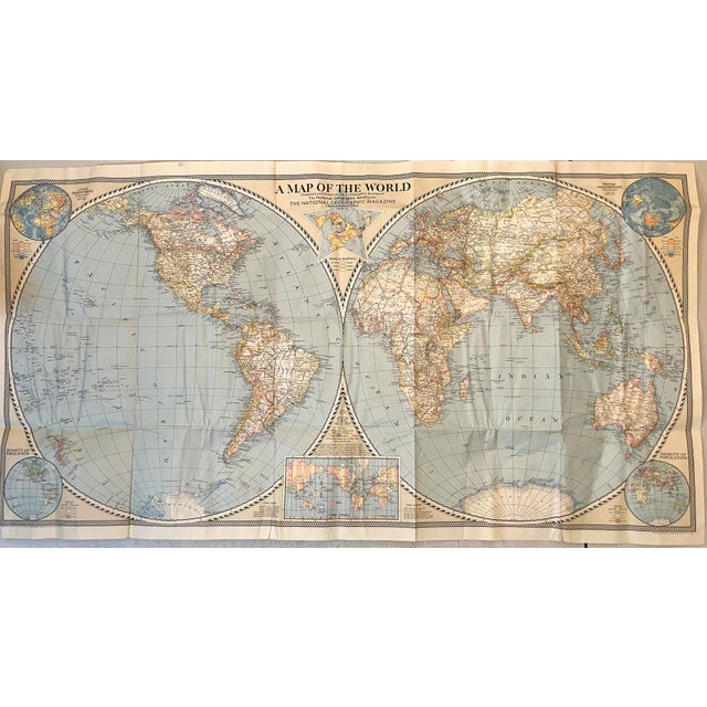
Both the world map and the map of Germany show international boundaries on the eve of World War II, September … Read more Both the world map and the map of Germany show international boundaries on the eve of World War II, September 1, 1939. Created 1944-47; Washington DC. The map of Germany also shows the boundaries before Austria and Czechoslovakia were annexed, January 1, 1938. Additionally the Germany map shows the Allied Occupational zones as of 1947. The zones were created in 1945 and amended in 1947 when Bremen and Bremerhaven by the North Sea became part of the US zone, allowing for dirct access to the sea. See less
- Dimensions
- 42.5ʺW × 0.1ʺD × 32.5ʺH
- Styles
- Traditional
- Frame Type
- Unframed
- Period
- 1940s
- Country of Origin
- United States
- Item Type
- Vintage, Antique or Pre-owned
- Materials
- Paper
- Condition
- Good Condition, Original Condition Unaltered, Some Imperfections
- Color
- White
- Condition Notes
- Very good. Both maps have issued fikds and some added creases. Colored. Very good. Both maps have issued fikds and some added creases. Colored. less
Questions about the item?
Returns & Cancellations
Return Policy - All sales are final 48 hours after delivery, unless otherwise specified in the description of the product.
Cancellation Policy - Prior to shipping or local pickup, buyers may cancel an order for up to 48 hours, unless otherwise specified.