

Details
Description
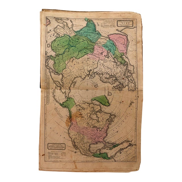
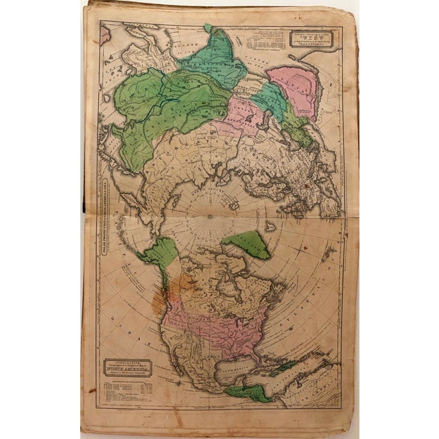
This is an unusual polar projection map of North America, Europe and Asia. In North America Texas is still part … Read more This is an unusual polar projection map of North America, Europe and Asia. In North America Texas is still part of Mexico and Alaska is part of Russia. The Great Wall of China is shown. Cities shown are classified by size of population. Created by W Woodbridge, 1831, Hartford. From Woodbridge's Modern Atlas. See less
- Dimensions
- 16.7ʺW × 0.1ʺD × 10.6ʺH
- Styles
- Traditional
- Frame Type
- Unframed
- Period
- Early 19th Century
- Country of Origin
- United States
- Item Type
- Vintage, Antique or Pre-owned
- Materials
- Paper
- Condition
- Good Condition, Original Condition Unaltered, Some Imperfections
- Color
- White
- Condition Notes
- Good. Slight toning and soiling. Marginal chips and split closed. Hand-color. Good. Slight toning and soiling. Marginal chips and split closed. Hand-color. less
Questions about the item?
Returns & Cancellations
Return Policy - All sales are final 48 hours after delivery, unless otherwise specified in the description of the product.
Cancellation Policy - Prior to shipping or local pickup, buyers may cancel an order for up to 48 hours, unless otherwise specified.