




Details
Description
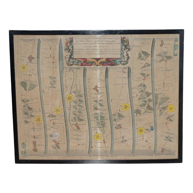
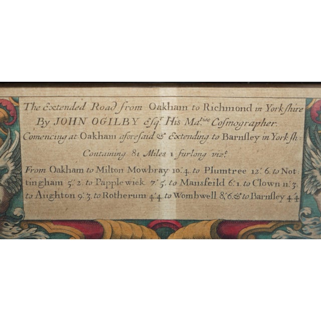
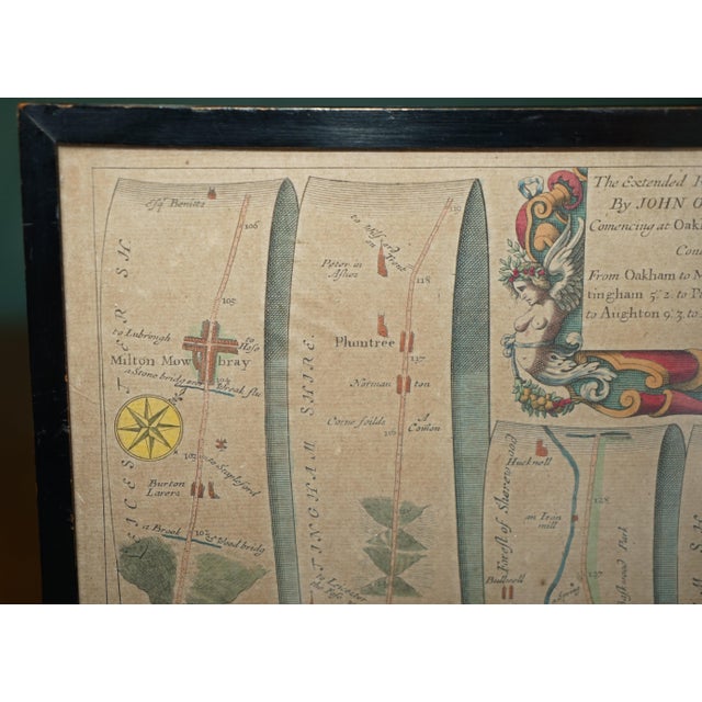
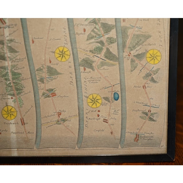
Wonderful 17th-century hand-coloured engraved road map by the celebrated English cartographer John Ogilby (1600–1676), entitled The Extended Road from Oakham … Read more Wonderful 17th-century hand-coloured engraved road map by the celebrated English cartographer John Ogilby (1600–1676), entitled The Extended Road from Oakham to Richmond in Yorkshire, originally published in his groundbreaking atlas Britannia in 1675 This fascinating historical map depicts the ancient coaching route from Oakham in Rutland to Barnsley in Yorkshire, beautifully illustrated across seven vertical ribbon-style road strips, complete with charming miniature representations of towns, villages, woodland, rivers, crossroads and compass roses. The delicate hand colouring, elaborate Baroque cartouche with decorative scrollwork and classical figures, and wonderfully detailed copperplate engraving make this an exceptionally attractive example of early British cartography. TDimensions Height: 47cm Width: 38cm Depth: 1cm See less
- Dimensions
- 14.96ʺW × 0.39ʺD × 18.5ʺH
- Period
- 17th Century
- Country of Origin
- United Kingdom
- Item Type
- Vintage, Antique or Pre-owned
- Materials
- Paper
- Condition
- Good Condition, Unknown, Some Imperfections
- Color
- Black
Returns & Cancellations
Return Policy - All sales are final 48 hours after delivery, unless otherwise specified in the description of the product.
Cancellation Policy - Prior to shipping or local pickup, buyers may cancel an order for up to 48 hours, unless otherwise specified.