

Starting at 20% Off
Sale Ends November 23rd, 2026 - Shop Now
Details
Description
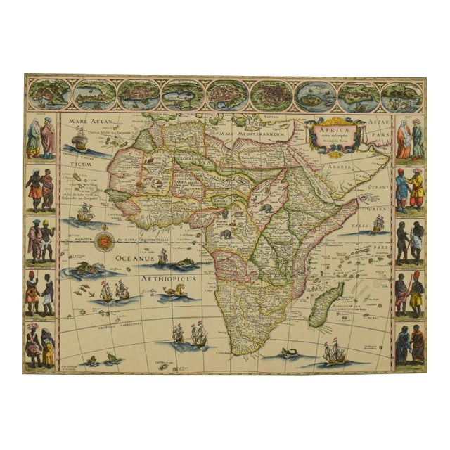
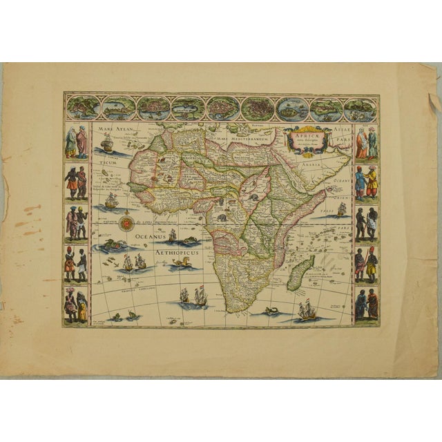
This is one of the most decorative maps of the African continent - based on Blaeu's 1647 map, recreated in … Read more This is one of the most decorative maps of the African continent - based on Blaeu's 1647 map, recreated in mid 1800s. The map is surrounded on three sides with vignettes of native peoples and nine principal cities. The Nile is shown according to Ptolemy with its sources arising in the lakes Zaire and Zaflan, the fictitious Lake Sachaf of Laurent Fries appears, as well as the R. de Spirito Santo. The map is further embellished with numerous ships, sea monsters, a compass rose and exotic animals wandering all over the continent. Blank verso. This is a later reduced version likely from the 1800s. See less
- Dimensions
- 16ʺW × 0.1ʺD × 11ʺH
- Styles
- Traditional
- Frame Type
- Unframed
- Period
- Mid 19th Century
- Country of Origin
- United States
- Item Type
- Vintage, Antique or Pre-owned
- Materials
- Paper
- Condition
- Good Condition, Original Condition Unaltered, Some Imperfections
- Color
- White
- Condition Notes
- Good-very good. Toning. Colored. Good-very good. Toning. Colored. less
Starting at 20% Off
Sale Ends November 23rd, 2026 - Shop Now
Questions about the item?
Returns & Cancellations
Return Policy - All sales are final 48 hours after delivery, unless otherwise specified in the description of the product.
Cancellation Policy - Prior to shipping or local pickup, buyers may cancel an order for up to 48 hours, unless otherwise specified.