

Starting at 20% Off
Sale Ends November 23rd, 2026 - Shop Now
Details
Description
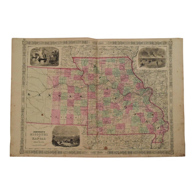
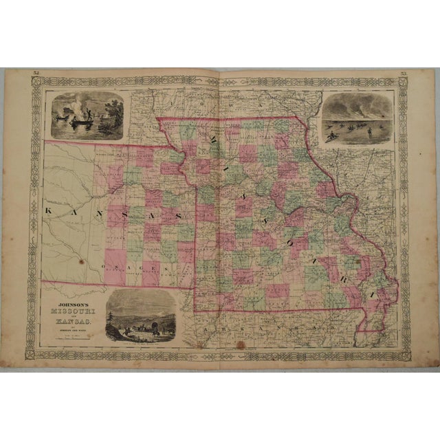
This excellent double-page map shows all of Missouri and the eastern half of Kansas by Johmnson, issued in 1863 in … Read more This excellent double-page map shows all of Missouri and the eastern half of Kansas by Johmnson, issued in 1863 in New york. The vignettes are of Santa Fe from the Great Missouri Trail, Fire on the Praire and Spear Fishing. It is full of details, including the Union Pacific Railroad route. Indian Lands and Reservations are shown in Kansas. Additional details include rivers, lakes, trails, forts, cities and towns, etc. Counties are color-coded. Decorative borders. See less
- Dimensions
- 23.1ʺW × 0.1ʺD × 17.1ʺH
- Styles
- Traditional
- Frame Type
- Unframed
- Period
- Mid 19th Century
- Country of Origin
- United States
- Item Type
- Vintage, Antique or Pre-owned
- Materials
- Paper
- Condition
- Good Condition, Original Condition Unaltered, Some Imperfections
- Color
- White
- Condition Notes
- Very Good-Good. Finger soiling and two foxing spots. Hand Colored. Very Good-Good. Finger soiling and two foxing spots. Hand Colored. less
Starting at 20% Off
Sale Ends November 23rd, 2026 - Shop Now
Questions about the item?
Returns & Cancellations
Return Policy - All sales are final 48 hours after delivery, unless otherwise specified in the description of the product.
Cancellation Policy - Prior to shipping or local pickup, buyers may cancel an order for up to 48 hours, unless otherwise specified.