

Starting at 20% Off
Sale Ends November 23rd, 2026 - Shop Now
Details
Description
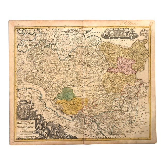
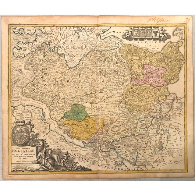
This is a beautiful map of Schleswig-Holstein from the city of Hamburg on the Elbe River and north to Denmark … Read more This is a beautiful map of Schleswig-Holstein from the city of Hamburg on the Elbe River and north to Denmark created by Hooman in 1720 in Nurnberg. Much detail is included as to topography, rivers, roads, fortified cities, and small towns and even names the islands in the Elbe. A block of armorial shields lies in the Baltic Sea and an allegorical title cartouche, representing the pastoral bounty of the region, is in the corner below the Elbe. See less
- Dimensions
- 22.6ʺW × 0.1ʺD × 19.1ʺH
- Styles
- Traditional
- Frame Type
- Unframed
- Period
- Early 18th Century
- Country of Origin
- Germany
- Item Type
- Vintage, Antique or Pre-owned
- Materials
- Paper
- Condition
- Good Condition, Original Condition Unaltered, Some Imperfections
- Color
- White
- Condition Notes
- Very Good. Slight toning. Two splits closed on verso. Issued centerfold. Partly handcolored. Very Good. Slight toning. Two splits closed on verso. Issued centerfold. Partly handcolored. less
Starting at 20% Off
Sale Ends November 23rd, 2026 - Shop Now
Questions about the item?
Returns & Cancellations
Return Policy - All sales are final 48 hours after delivery, unless otherwise specified in the description of the product.
Cancellation Policy - Prior to shipping or local pickup, buyers may cancel an order for up to 48 hours, unless otherwise specified.