

Starting at 20% Off
Sale Ends November 23rd, 2026 - Shop Now
Details
Description
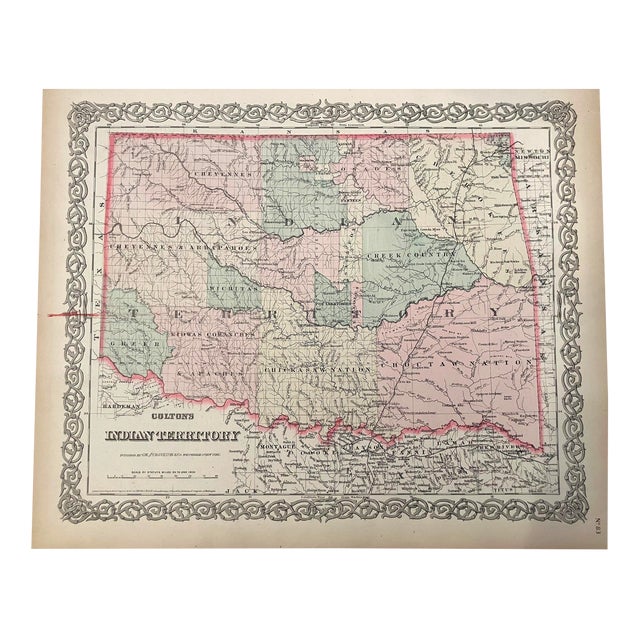
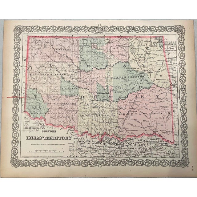
This is a highly detailed map reflecting the status of lands allocated to various Indian tribes. It was created by … Read more This is a highly detailed map reflecting the status of lands allocated to various Indian tribes. It was created by Colton in 1876 in New York.v In 1817 the U.S. government began to relocate the principal eastern Indian tribes from their traditional home lands to Indian Territory where the Five Civilized Tribes formed the nucleus of an organized government. By the 1870s there were more that twenty-five tribes settled on lands once promised to the original five. The Indian tribes are identified and the territories are color-coded. Much detail is offered as to topography, rivers, lakes, cities, towns, railroads, etc. See less
- Dimensions
- 15.5ʺW × 0.1ʺD × 12.5ʺH
- Styles
- Traditional
- Frame Type
- Unframed
- Period
- Late 19th Century
- Country of Origin
- United States
- Item Type
- Vintage, Antique or Pre-owned
- Materials
- Paper
- Condition
- Good Condition, Original Condition Unaltered, Some Imperfections
- Color
- White
- Condition Notes
- Good. Light toning mostly in the margins. Red ink in left margin slightly into the map. Hand colored. Good. Light toning mostly in the margins. Red ink in left margin slightly into the map. Hand colored. less
Starting at 20% Off
Sale Ends November 23rd, 2026 - Shop Now
Questions about the item?
Returns & Cancellations
Return Policy - All sales are final 48 hours after delivery, unless otherwise specified in the description of the product.
Cancellation Policy - Prior to shipping or local pickup, buyers may cancel an order for up to 48 hours, unless otherwise specified.