

Starting at 20% Off
Sale Ends November 23rd, 2026 - Shop Now
Details
Description
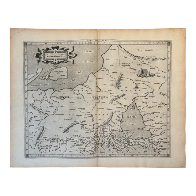
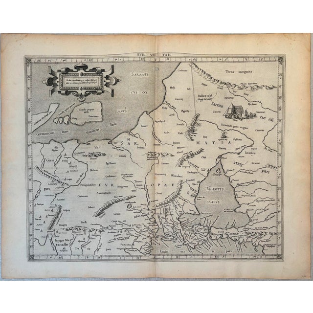
This is an attractive Ptolemaic map covering eastern Europe from the Baltic through the Black Sea known in ancient times … Read more This is an attractive Ptolemaic map covering eastern Europe from the Baltic through the Black Sea known in ancient times as Sarmatia and Tauricam Chersonese, created by Mercator in 1618 in Amsterdam. Details offered include topography, rivers and towns. The map is decorated with a strapwork title cartouche and a tent encampment.The maps were beautifully engraved as nearly as possible to their original form and embellished with fine cartouches. This is the first state, published by Petrus Bertius, with Latin text on verso. See less
- Dimensions
- 17ʺW × 0.1ʺD × 13.5ʺH
- Styles
- Traditional
- Frame Type
- Unframed
- Period
- 17th Century
- Country of Origin
- Netherlands
- Item Type
- Vintage, Antique or Pre-owned
- Materials
- Paper
- Condition
- Good Condition, Original Condition Unaltered, Some Imperfections
- Color
- White
- Condition Notes
- Very Good-Excellent. Slight toning mostly at the edges and one small foxing spot. Issued Centerfold. Uncolored. Very Good-Excellent. Slight toning mostly at the edges and one small foxing spot. Issued Centerfold. Uncolored. less
Starting at 20% Off
Sale Ends November 23rd, 2026 - Shop Now
Questions about the item?
Returns & Cancellations
Return Policy - All sales are final 48 hours after delivery, unless otherwise specified in the description of the product.
Cancellation Policy - Prior to shipping or local pickup, buyers may cancel an order for up to 48 hours, unless otherwise specified.