

Starting at 20% Off
Sale Ends November 23rd, 2026 - Shop Now
Details
Description
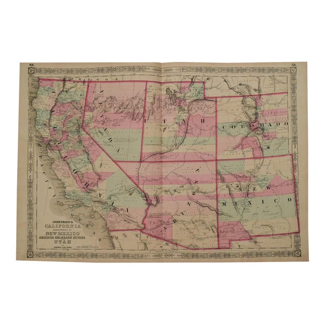
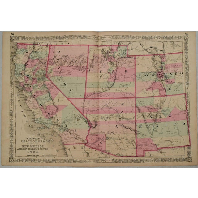
This is a superb double page map by Johnson showing the US West during a period of rapid changes. It … Read more This is a superb double page map by Johnson showing the US West during a period of rapid changes. It was issued in New York in 1863, This edition is part in this great series of maps that Johnson produced with constant updates between 1860 and at least 1867. In this edition Arizona still has the county configurations of the old New Mexico Territory, with the addition of Castle Dome and Ewell counties in the south. The Utah/Nevada border is now at 115 degrees and the southern tip of Nevada, including Las Vegas, is part of Arizona Territory. This map was printed from a completely re-engraved plate with much changed in watershed and mountain detail, and several of the earlier notations removed. Details the U.S. Mail routes, Freemont's route, the Spanish trail, the Emigrant road to California, the proposed central and southern Pacific Rail Road routes are shown among others. The route of the short-lived Pony Express is delineated and named. Indian ttribes are identified. Much additional topographical, river, lake, town, city, road, mine details are provided. See less
- Dimensions
- 23.9ʺW × 0.1ʺD × 16.9ʺH
- Styles
- Traditional
- Frame Type
- Unframed
- Period
- Mid 19th Century
- Country of Origin
- United States
- Item Type
- Vintage, Antique or Pre-owned
- Materials
- Paper
- Condition
- Good Condition, Original Condition Unaltered, Some Imperfections
- Color
- White
- Condition Notes
- Very Good. Finger soiling. Issued centerfold. Hand Colored. Very Good. Finger soiling. Issued centerfold. Hand Colored. less
Starting at 20% Off
Sale Ends November 23rd, 2026 - Shop Now
Questions about the item?
Returns & Cancellations
Return Policy - All sales are final 48 hours after delivery, unless otherwise specified in the description of the product.
Cancellation Policy - Prior to shipping or local pickup, buyers may cancel an order for up to 48 hours, unless otherwise specified.