

Starting at 20% Off
Sale Ends November 23rd, 2026 - Shop Now
Details
Description
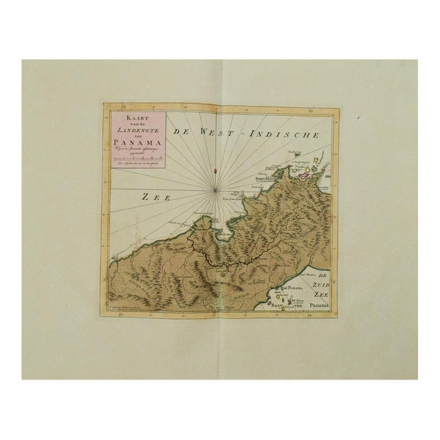
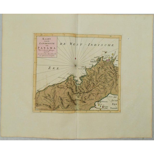
This is an excellent map of Panama showing Panama City at the southeast, Chagres at the northwest and Porto-Bello at … Read more This is an excellent map of Panama showing Panama City at the southeast, Chagres at the northwest and Porto-Bello at the northeast by Tirion, issued in 1769 in Amsterdam. Roads and the Chagres River connect them all. Finely engraved with rhumb lines and fleur-de-lis. Plenty of detail on topography, rivers, lakes. From Nieuwe en beknopte Hand-Atlas... See less
- Dimensions
- 12ʺW × 0.1ʺD × 10.5ʺH
- Styles
- Traditional
- Frame Type
- Unframed
- Period
- Late 18th Century
- Country of Origin
- Netherlands
- Item Type
- Vintage, Antique or Pre-owned
- Materials
- Paper
- Condition
- Good Condition, Original Condition Unaltered, Some Imperfections
- Color
- White
- Condition Notes
- Excellent. On thicker water marked laid paper. Slight edge toning. Issued centerfold. Hand-colored. Excellent. On thicker water marked laid paper. Slight edge toning. Issued centerfold. Hand-colored. less
Starting at 20% Off
Sale Ends November 23rd, 2026 - Shop Now
Questions about the item?
Returns & Cancellations
Return Policy - All sales are final 48 hours after delivery, unless otherwise specified in the description of the product.
Cancellation Policy - Prior to shipping or local pickup, buyers may cancel an order for up to 48 hours, unless otherwise specified.