


Details
Description
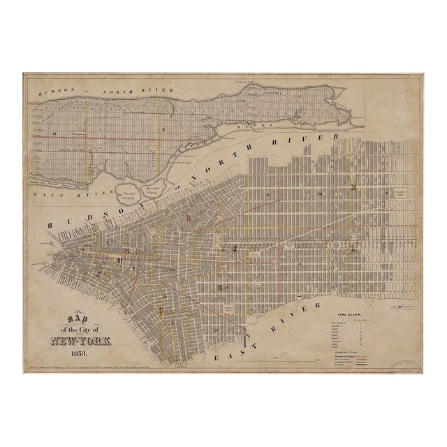
An original 1853 steel engraving map of New York City by George Hayward, published in Valentine's Manual, offering a fascinating …
Read more
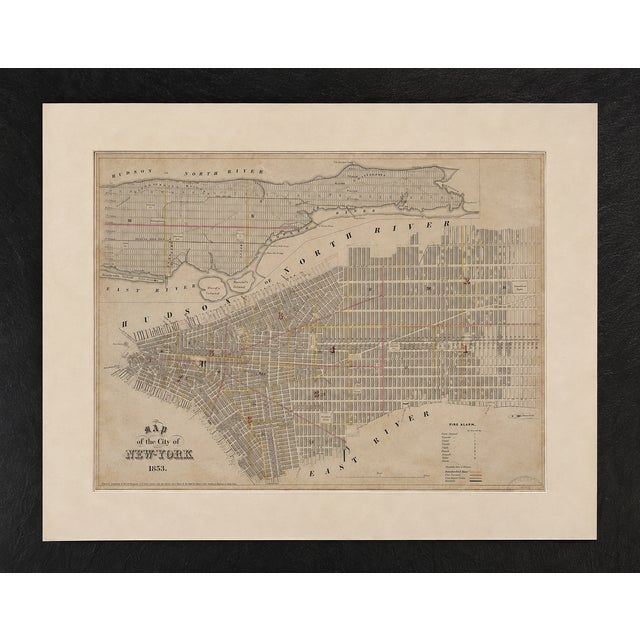
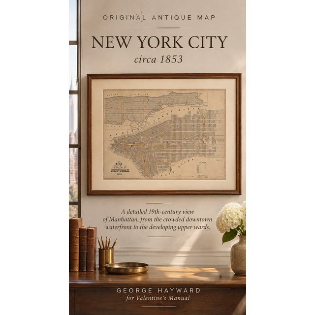
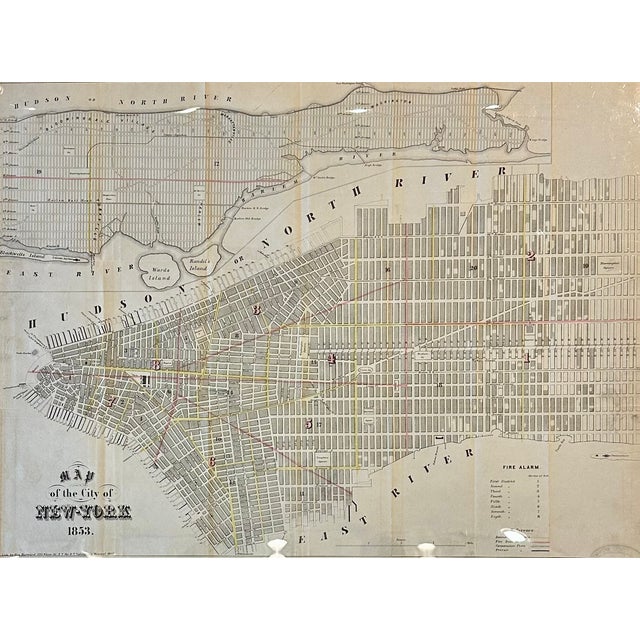
An original 1853 steel engraving map of New York City by George Hayward, published in Valentine's Manual, offering a fascinating glimpse of Manhattan during a period of extraordinary growth and transformation.
This detailed historical map illustrates Manhattan's expanding street grid, from the densely developed neighborhoods of Lower Manhattan to the largely undeveloped northern wards. Surrounding waterways and landmarks include the Hudson and East Rivers, Blackwell's Island (now Roosevelt Island), Ward's Island, and Randall's Island. A remarkable piece of New York City history, capturing the city's streets, waterfronts, municipal wards, and early infrastructure, with subtle period coloring highlighting important routes and boundaries.
In excellent antique condition, with original fold lines visible, consistent with its age and publication history. Presented in a protective mat with clear plastic covering.
Dimensions: 26¼ × 21 inches.
See less
- Dimensions
- 26.25ʺW × 1ʺD × 21ʺH
- Styles
- Americana
- Frame Type
- Unframed
- Period
- Mid 19th Century
- Country of Origin
- United States
- Item Type
- Vintage, Antique or Pre-owned
- Materials
- Engraving
- Condition
- Good Condition, Original Condition Unaltered, Some Imperfections
- Color
- Antique White
- Condition Notes
- In excellent antique condition, with original fold lines visible, consistent with its age and publication history. In excellent antique condition, with original fold lines visible, consistent with its age and publication history. less
Questions about the item?
Returns & Cancellations
Return Policy - All sales are final 48 hours after delivery, unless otherwise specified in the description of the product.
Cancellation Policy - Prior to shipping or local pickup, buyers may cancel an order for up to 48 hours, unless otherwise specified.